
Application Description
OfflineMaps provides you with comprehensive access to a diverse collection of maps, ensuring you have all the geographical information you need at your fingertips!
No advertisements ~ No data sharing & monetization ~ No analytics ~ No third party libraries
Tired of waiting for maps to load? With All-In-One OfflineMaps, once a map is displayed, it's stored for quick access, even without a network connection. This means:
- Want more than just roads on your maps? You'll find everything you need here;
- Traveling to areas with poor network coverage? Your maps will remain accessible;
- Heading abroad? Say goodbye to getting lost;
- Have a limited data plan? OfflineMaps will help you conserve your data usage.
★★ Maps ★★
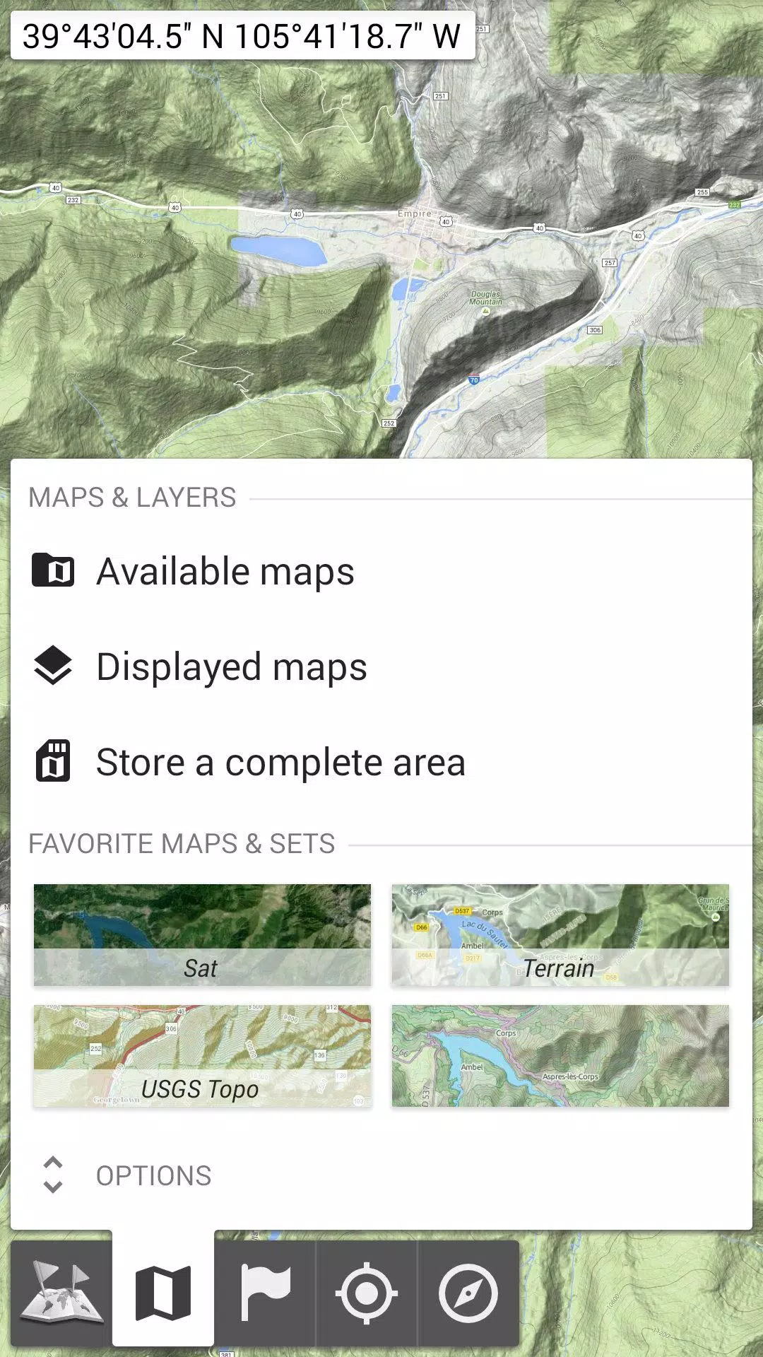
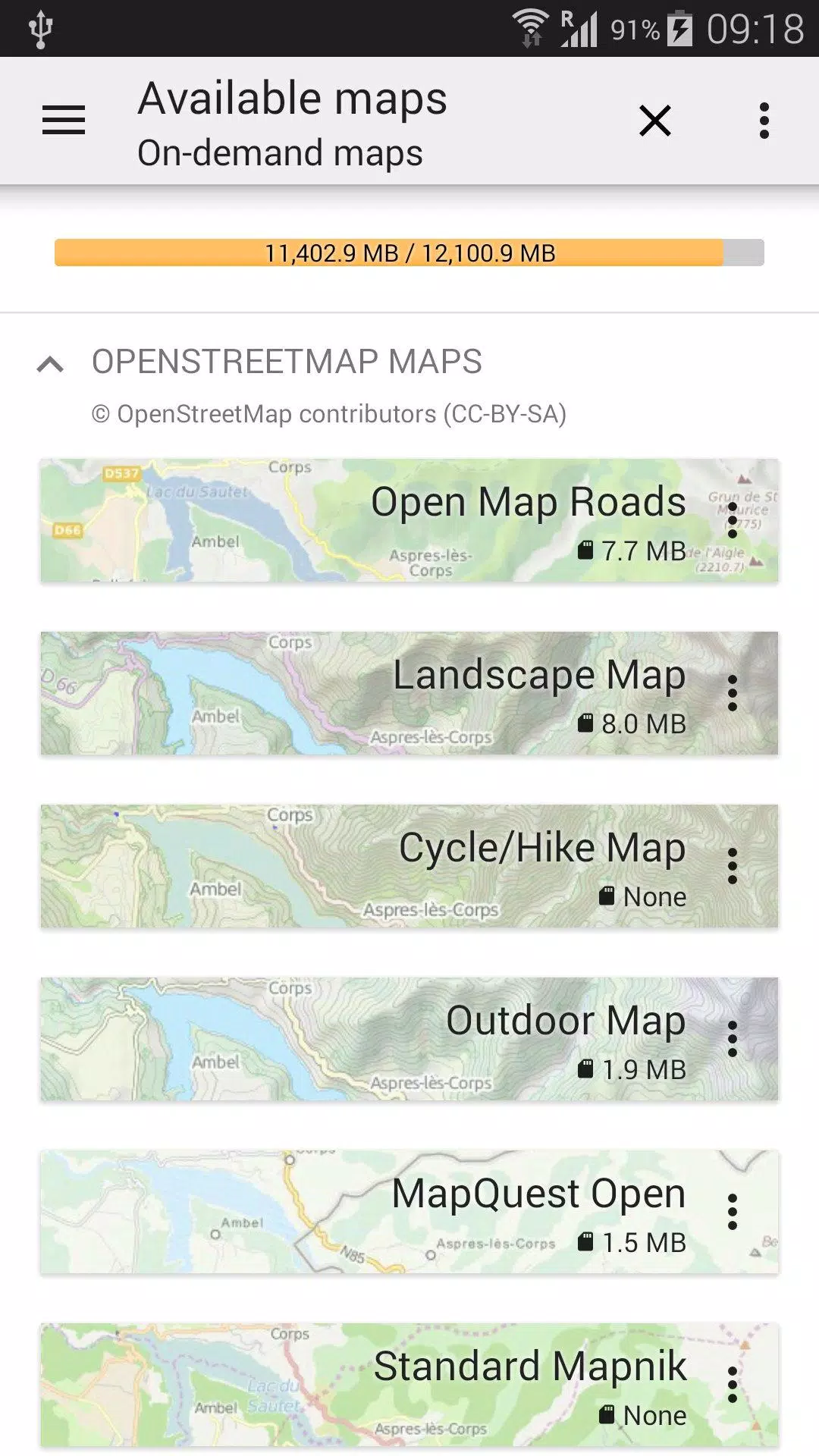
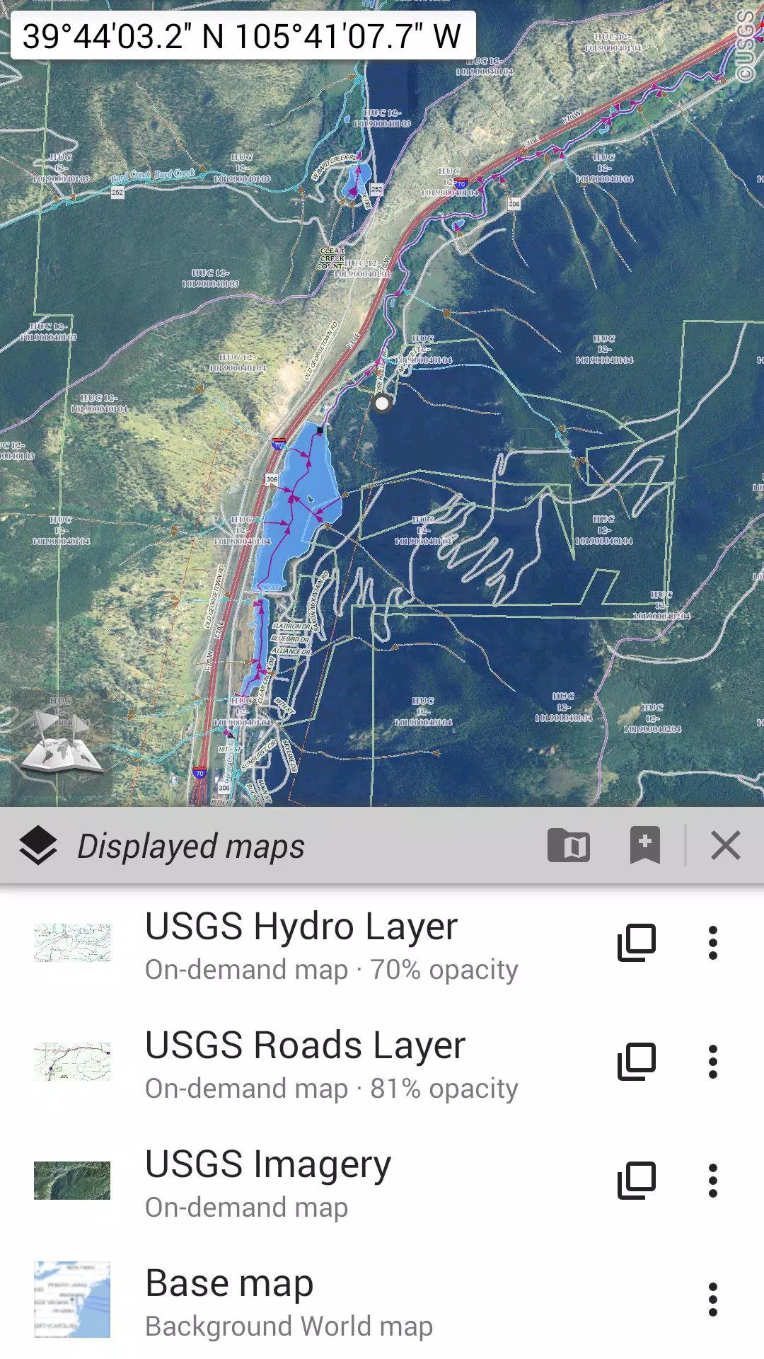
Discover an extensive range of maps, from traditional road maps to detailed topographic and aerial (satellite) maps. Enhance your navigation with various layers that can be overlaid on any map, including OpenStreetMap (Roads, Topo), USGS National Map (High-resolution topo, Aerial imagery), and Worldwide Military Soviet topo maps, among others.
- All maps can be layered with precise opacity control;
- Easily select and store large areas with just a few clicks;
- Stored maps can be clearly managed and deleted as needed.
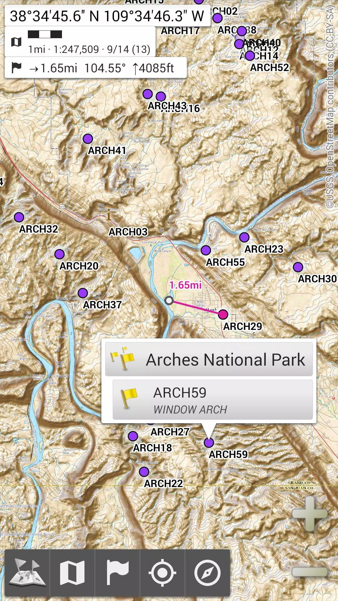
★★ Display, Store, and Retrieve Unlimited Placemarks ★★
Customize your maps by adding waypoints, icons, routes, areas, and tracks. Manage these placemarks effortlessly with the powerful SD-Card Placemarks Explorer.
★★ On-map GPS Location & Orientation ★★
See your real-time location and direction clearly marked on the map, which can rotate to align with your actual orientation, depending on your device's capabilities. Turn GPS features on and off easily to save battery life.
Additional features include:
- Metric, imperial, and hybrid distance units;
- GPS Latitude/Longitude and various grid coordinate formats (UTM, MGRS, USNG, OSGB Grid, Irish Grid, Swiss Grid, Lambert Grids, DFCI Grid, QTH Maidenhead Locator System, and more);
- Import capability for hundreds of coordinate formats from spatialreference.org;
- On-map grid display;
- Full-screen map view;
- Multi-touch zoom;
- And much more...
★★ Need More? ★★
For the true adventurer, explore AlpineQuest Off-Road Explorer, the ultimate outdoor solution built on the foundation of All-In-One OfflineMaps. It includes a powerful GPS Track Recorder and additional features to enhance your off-road experiences: AlpineQuest Off-Road Explorer.
Screenshot
Reviews
Apps like All-In-One Offline Maps


Trending apps


Top News


Latest Apps


Latest Articles